Description
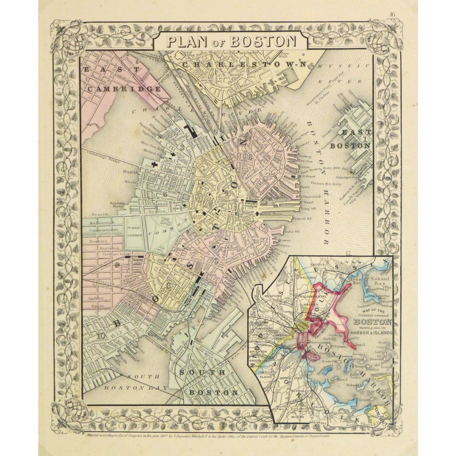
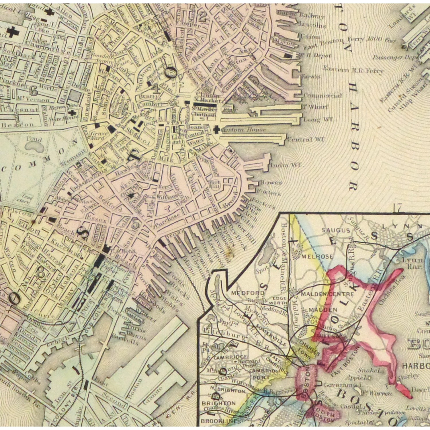
Beautifully detailed and colorful antique map of the city of Boston includes an inset of the Boston Harbor Islands by Mitchell, 1867.
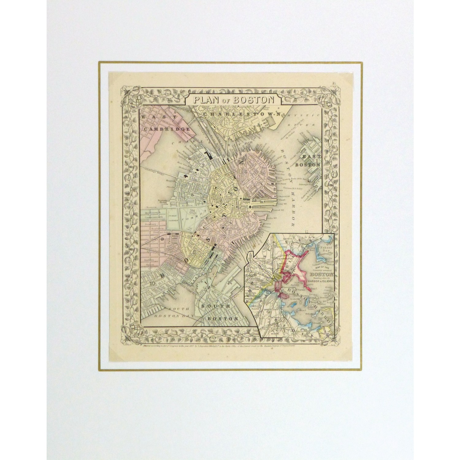
Original antique map on paper displayed on a white mat with a gold border. Mat fits a standard-size frame. Archival plastic sleeve and Certificate of Authenticity included. Map, 10.25″L x 12.25″H; mat, 16″L x 20″H.
: Passing null to parameter #1 ($string) of type string is deprecated in <b>/homepages/22/d425990115/htdocs/clickandbuilds/MapsandArt443253/wp-includes/formatting.php</b> on line <b>4477</b><br />
)
