Description
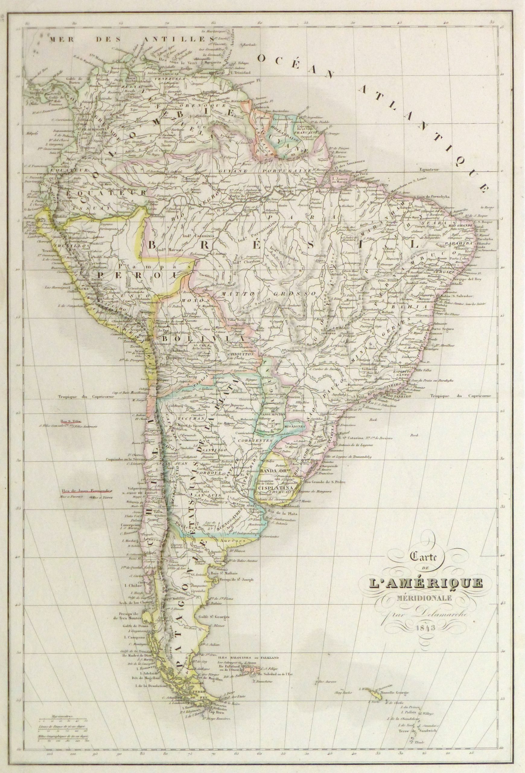
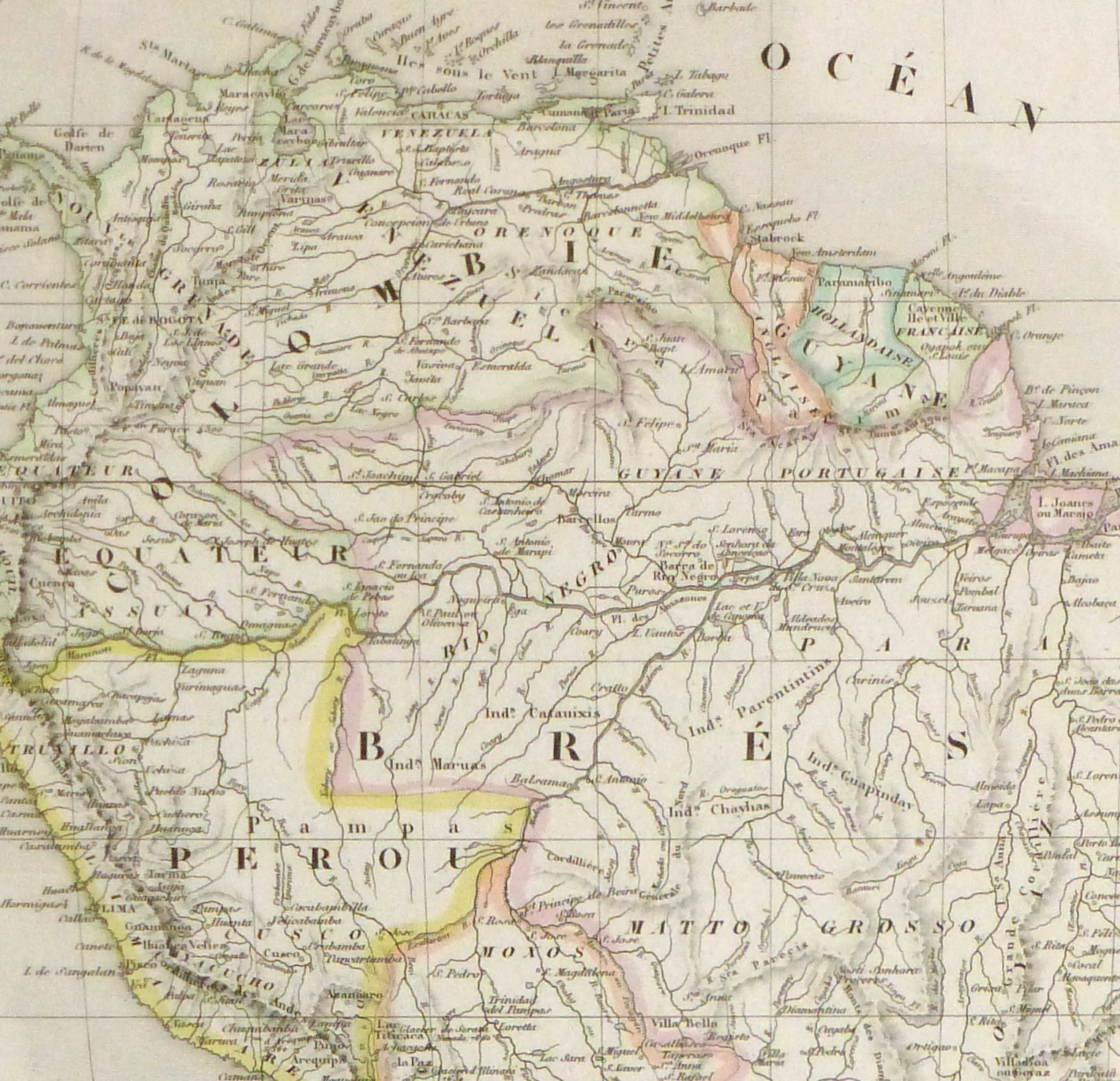
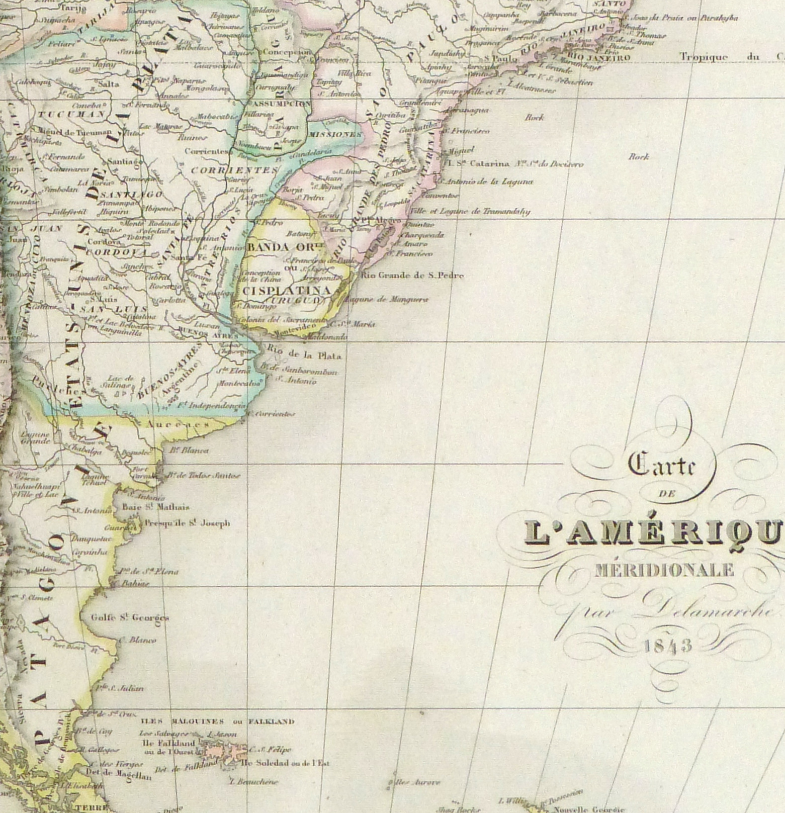
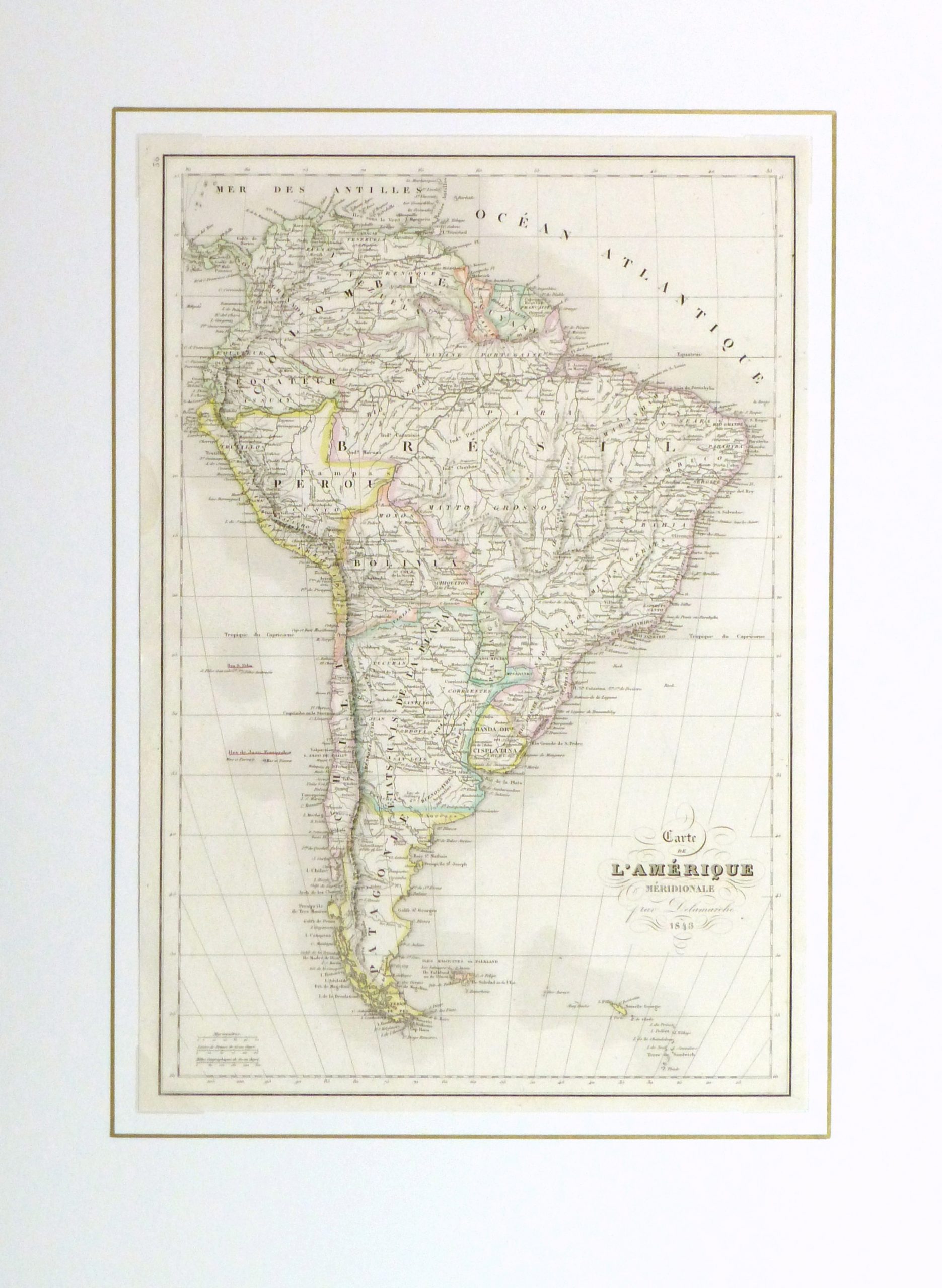
Antique hand-colored map of South America, 1843. Shows early South American borders, rivers and towns. Note Bolivia still has sea access to the Pacific Ocean. Panama is Colombian. Patagonia is independent from Chile or Argentina. Map illustrates Greater Colombia encompassing today’s Venezuela and Ecuador.
Original antique map on paper displayed on a white mat with a gold border. Mat fits a standard-size frame. Archival plastic sleeve and Certificate of Authenticity included. Map, 11.75″L x 17.5″H; mat, 18″L x 24″H.
: Passing null to parameter #1 ($string) of type string is deprecated in <b>/homepages/22/d425990115/htdocs/clickandbuilds/MapsandArt443253/wp-includes/formatting.php</b> on line <b>4477</b><br />
)
