Description
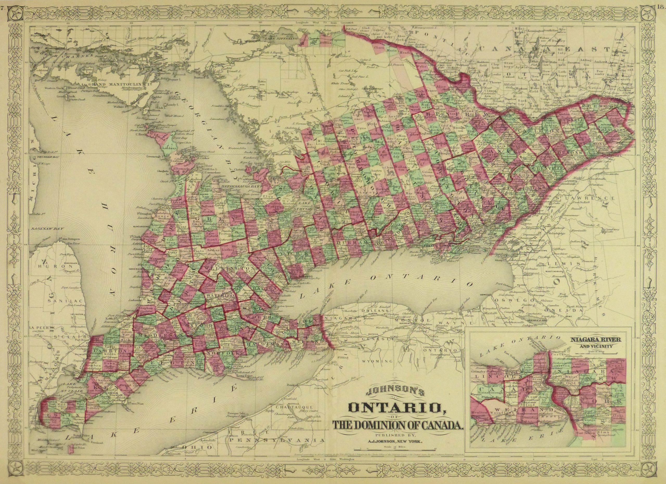
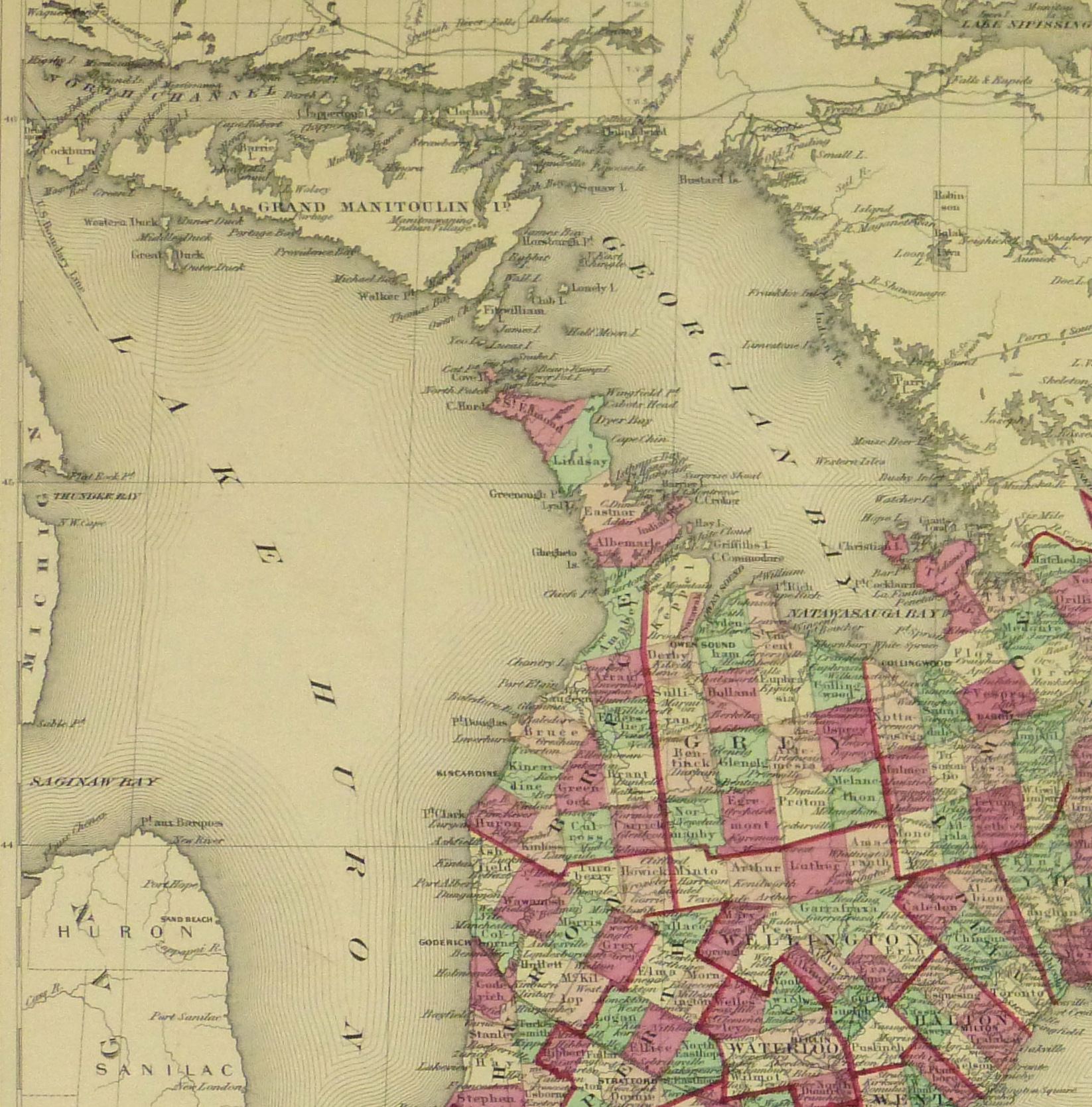
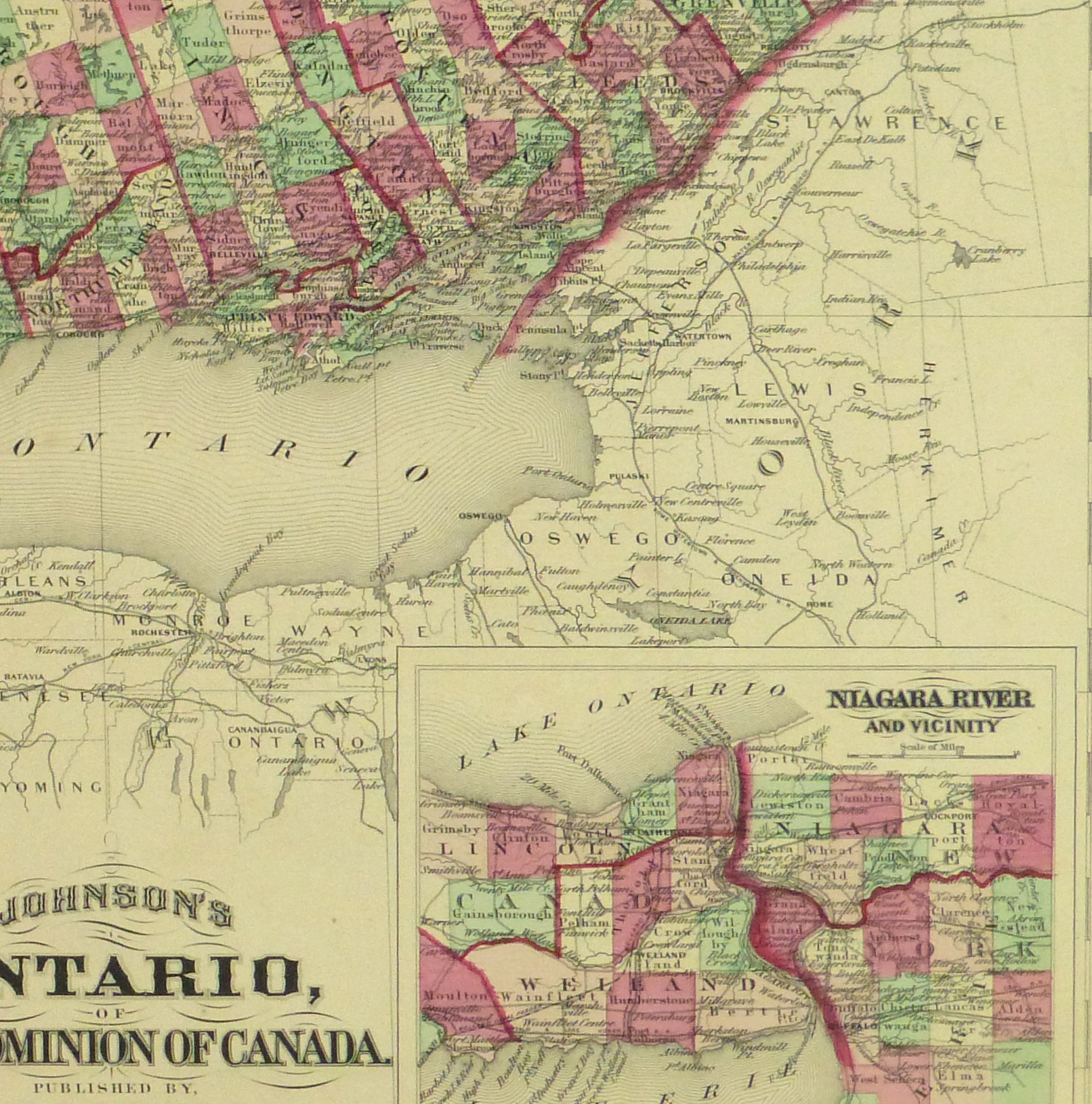
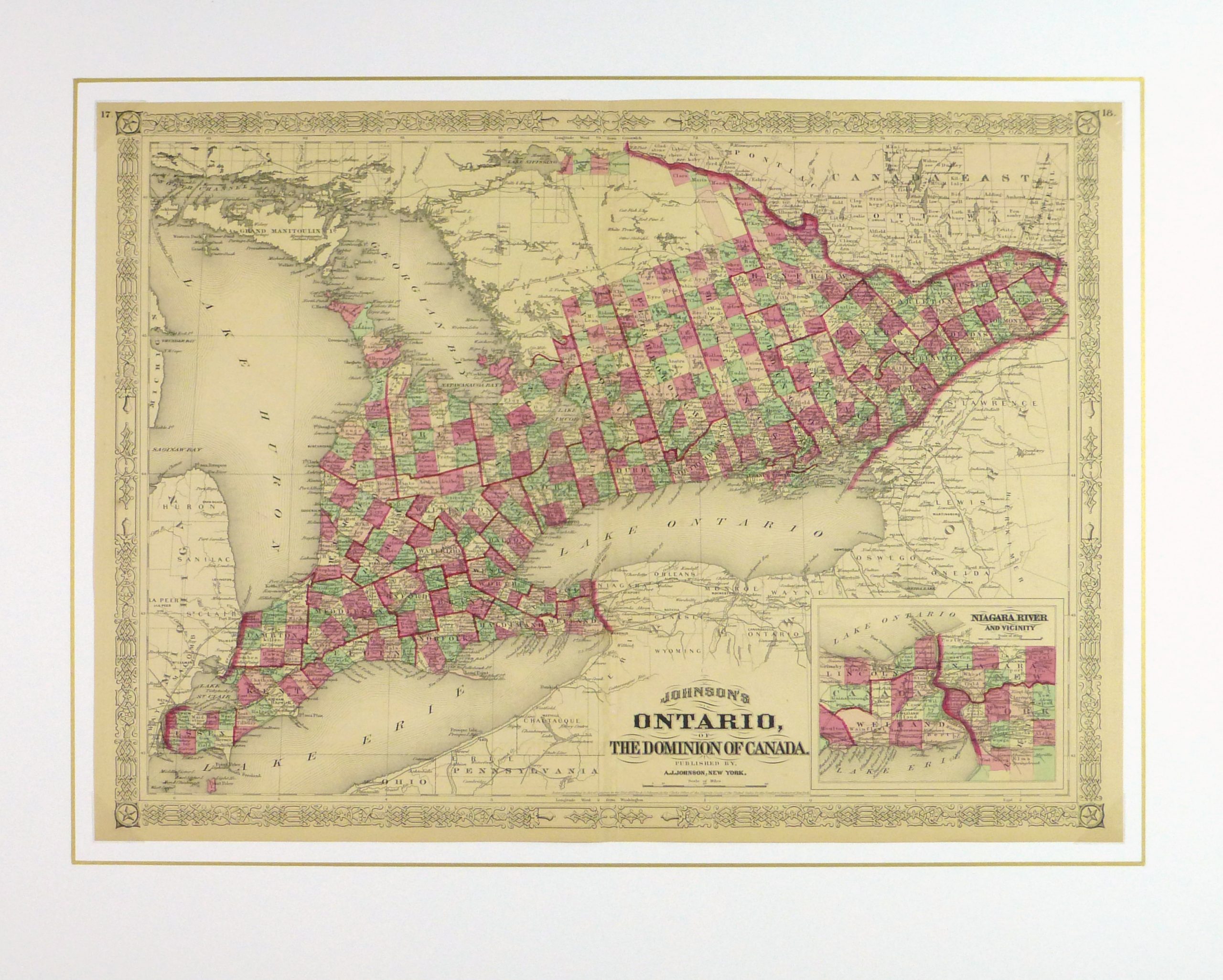
Antique hand-colored map of Ontario, Canada, 1868. Shows counties, railroads, rivers, lakes and towns.
Original antique map on paper displayed on a white mat with a gold border. Mat fits a standard-size frame. Archival plastic sleeve and Certificate of Authenticity included. Map, 24″L x 17.25″H; mat, 30″L x 24″H.
: Passing null to parameter #1 ($string) of type string is deprecated in <b>/homepages/22/d425990115/htdocs/clickandbuilds/MapsandArt443253/wp-includes/formatting.php</b> on line <b>4477</b><br />
)
