Description
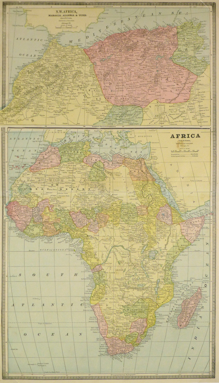
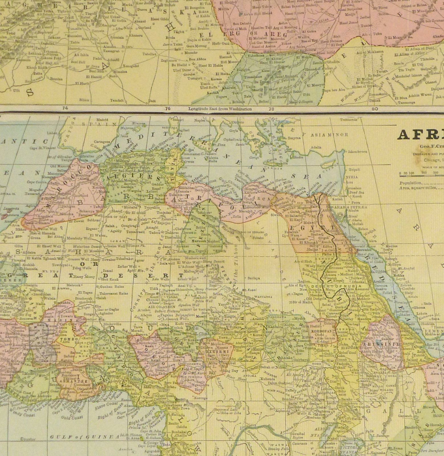
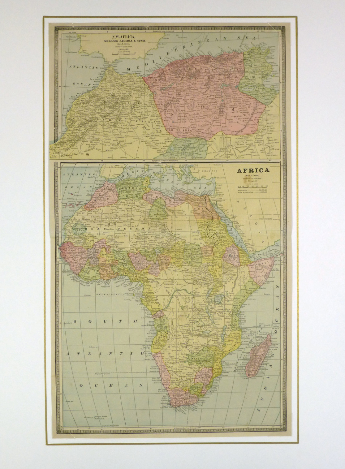
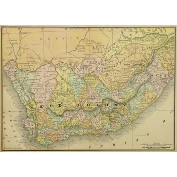
Bright engraved map of Africa and North Africa, 1890. Shows borders, tribes, rivers, mountains, and towns.
Original antique map on paper displayed on a white mat with a gold border. Mat fits a standard-size frame. Archival plastic sleeve and Certificate of Authenticity included. Map, 11.75″L x 10.5″H; mat, 18″L x 24″H.
: Passing null to parameter #1 ($string) of type string is deprecated in <b>/homepages/22/d425990115/htdocs/clickandbuilds/MapsandArt443253/wp-includes/formatting.php</b> on line <b>4477</b><br />
)
