antique map
Showing 109–120 of 146 results
-
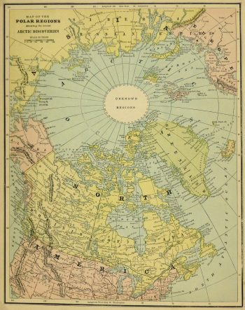
Polar Regions Map, Circa 1885
$75.00 -
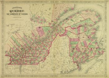
Quebec, Canada Map, 1868
$100.00 -
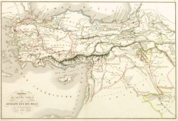
Retreat Ten Thousand Map, 1838
$125.00 -
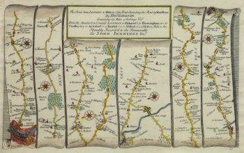
Road Map to London, 1719
$299.00 -
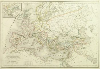
Roman Empire Map, 1845
$125.00Captivating engraved map of the World as known by the ancient Greeks and Romans by French cartographer Drioux from 1860. Original hand color. Note Wind Rose upper right.
-
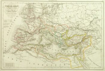
Roman Empire Map, 1845
$125.00 -
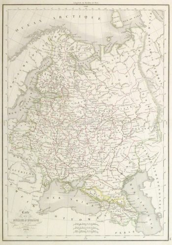
Russia Map, 1838
$100.00 -
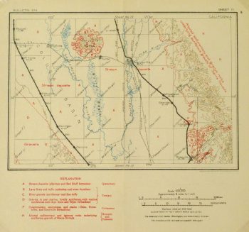
Sacramento Valley Map, 1915
$95.00 -
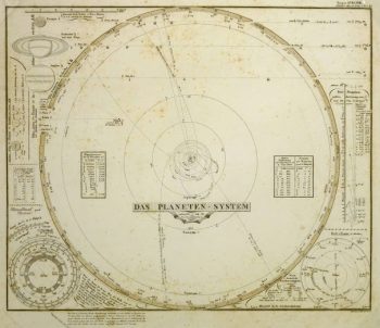
Solar System Map, 1847
$189.00 -
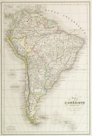
South America Map, 1843
$150.00 -
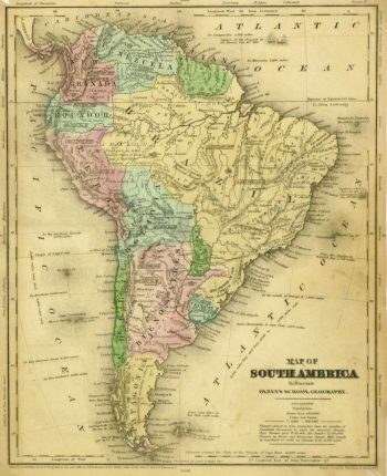
South America Map, 1844
$100.00 -
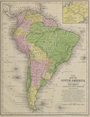
South America Map, 1860
$150.00