ANTIQUE MAPS
Showing 73–84 of 247 results
-
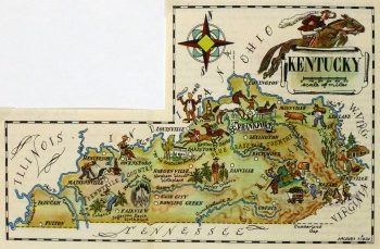
Kentucky Pictorial Map, 1946
$75.00 -
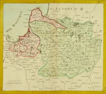
Lithuania Map, Circa 1770
$400.00 -
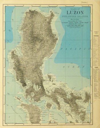
Luzon Island, Philippines Map, 1895
$75.00 -
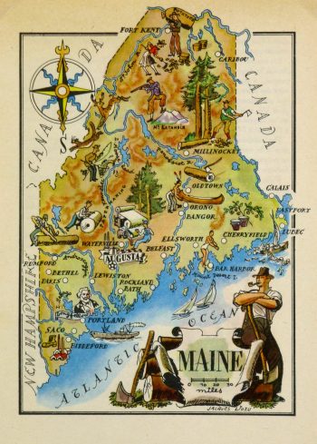
Maine Pictorial Map, 1946
$75.00 -
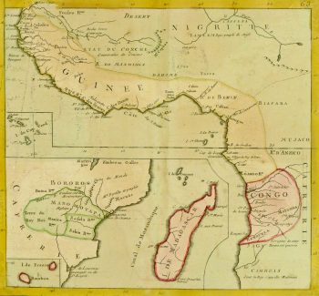
Map – Africa, 1767
$325.00Copper engraving of Africa by Clouet, 1767. Shows West Africa, East Africa, Congo, and Madagascar. Note fabled kingdom of Monomotapa and many peoples and kingdoms listed. Original hand-coloring.
-
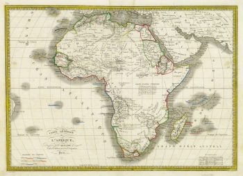
Map – Africa, 1842
$150.00 -
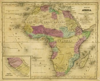
Map – Africa, 1844
$150.00 -
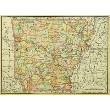
Map – Arkansas, 1891
$75.00Crisp and vivid antique map of Arkansas from Rand McNally, 1891.
-
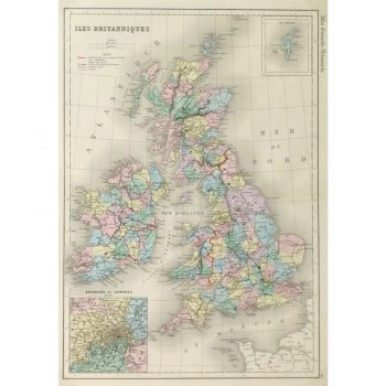
Map – British Isles – 1873
$150.00Colorful and finely detailed antique map of the British Isles includes insets of The Shetland Islands and cities surrounding London from French mapmaker Mitchell, 1873.
-
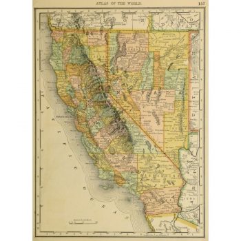
Map – California and Nevada, 1887
$100.00Vibrant and bright antique map of the states of California and Nevada by Rand McNally, 1887.
-
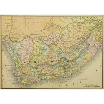
Map – Cape Colony Africa, 1891
$100.00Historic and colorful map of Cape Colony, a British colony in present day South Africa, from Rand McNally, 1891.
-
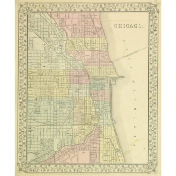
Map – Chicago, 1867
$159.00Beautifully detailed and colorful antique map of the city of Chicago by Mitchell, 1867.
: Passing null to parameter #1 ($string) of type string is deprecated in <b>/homepages/22/d425990115/htdocs/clickandbuilds/MapsandArt443253/wp-includes/formatting.php</b> on line <b>4477</b><br />
)