STATES
Showing 49–60 of 135 results
-
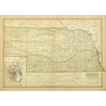
Map – Nebraska, 1897
$100.00Finely detailed antique map of the state of Nebraska, includes an inset of Omaha, from Century Atlas, 1897.
-
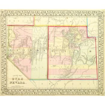
Map – Nevada & Utah, 1867
$165.00Beautifully detailed and colorful antique map outlining the counties of the states of Nevada and Utah by Mitchell, 1867.
-
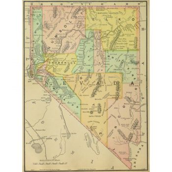
Map – Nevada, 1891
$75.00Brightly accented antique map of the state of Nevada from Encyclopedia Britanica, 1891.
-
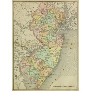
Map – New Jersey, 1891
$75.00Colorfully accented antique map of the state of New Jersey from Encyclopedia Britanica, 1891.
-
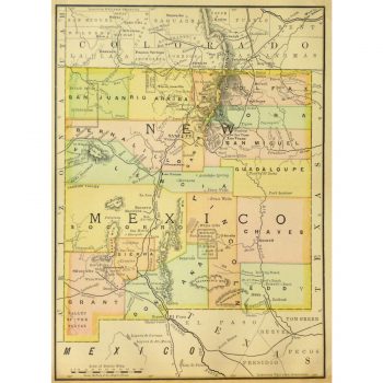
Map – New Mexico, 1891
$75.00Light but brightly colored antique map of the state of New Mexico from Encyclopedia Britanica, 1891.
-
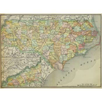
Map – North Carolina, 1891
$75.00Vividly accented antique map of the state of North Carolina from the Encyclopedia Britanica, 1891.
-
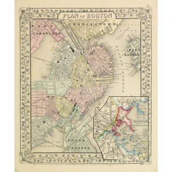
Map – Plan of Boston, 1867
$159.00Beautifully detailed and colorful antique map of the city of Boston includes an inset of the Boston Harbor Islands by Mitchell, 1867.
-
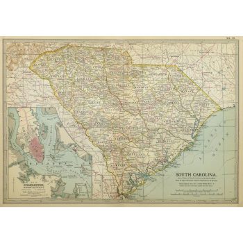
Map – South Carolina, 1902
$100.00Colorful and detailed antique map of South Carolina, includes an inset of Charleston, from Century Atlas, 1902.
-
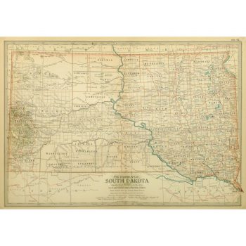
Map – South Dakota, 1897
$100.00Crisp and detailed antique map of the state of South Dakota from Century Atlas, 1897.
-
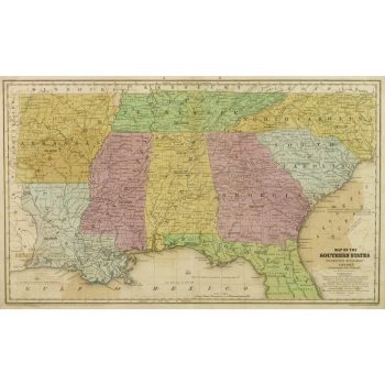
Map – Southern United States, 1839
$150.00Excellent and colorful antique map of the southern states of the United States by Smith, 1839.
-

Map – Vermont & New Hampshire, 1897
$100.00Beautiful and highly detailed antique map of the states of Vermont and New Hampshire, from Century Atlas, 1897.
-
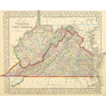
Map – Virginia & West Virginia, 1867
$165.00Beautifully detailed and colorful antique map outlining the counties in the states of Virginia and West Virginia by Mitchell, 1867.